The Geocoordinate Validation Service (GVS) validates decimal geographic coordinates and flags common georeferencing errors, such as those found in species-occurrence records. It checks whether coordinates fall on land or in the ocean, detects points that coincide with political-division centroids — a common artifact of georeferencing to a country or province rather than to a precise locality — and returns the political-division information associated with each point using the GeoNames and Global Administrative Areas (GADM) databases.
Geocoordinate validation is one of several data-cleaning operations performed on the BIEN database, complementing the political geovalidation provided by the GNRS.
Examples and vignette: GVS vignette.
What the GVS checks
- Whether each coordinate falls on land or in the ocean;
- Whether a point coincides with a political-division centroid (a common georeferencing artifact);
- The country, state and county in which each point falls (where available), together with the distance to the corresponding political-division centroids.
Access the GVS
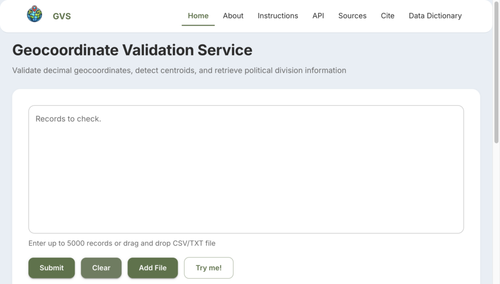
- GVS web interface — validate up to 5,000 records interactively, including CSV or text-file upload.
- GVS R package on CRAN (see the GVS vignette) — programmatic access from within R.