
Skip to content
  • Overview
  • Data & Access
    • Data summary
    • Data & Access
    • Citation & how to cite
  • Methods & Workflow
    • Tutorial: BIEN Flags and Data Augmentation
  • Tools & Services
    • TNRS
    • GNRS
    • GVS
    • NSR
    • All applications & tools
  • About
    • About BIEN
    • Participants
    • Data contributors
    • Acknowledgments
    • Links
Botanical Information and Ecology Network

Botanical Information and Ecology Network

Menu

GNRS

🌎
GNRS
Geographic Name Resolution Service

The Geographic Name Resolution Service (GNRS) resolves political division names and codes using the GeoNames database of geographic place names, indexing them against political-division spatial objects in the Natural Earth and Global Administrative Areas (GADM) databases.

Among other uses, this enables what we call “political geovalidation” of species observations: checking that observation coordinates fall within the declared country, state and county of observation. Political geovalidation is one of many data-cleaning operations performed on the BIEN database.

Examples and vignette: GNRS vignette.

Citation: Chamberlain, S. A. et al. (2022). GNRS: A Geographic Name Resolution Service for standardizing and georeferencing political division names. PLOS ONE 17(11): e0268162. https://doi.org/10.1371/journal.pone.0268162.
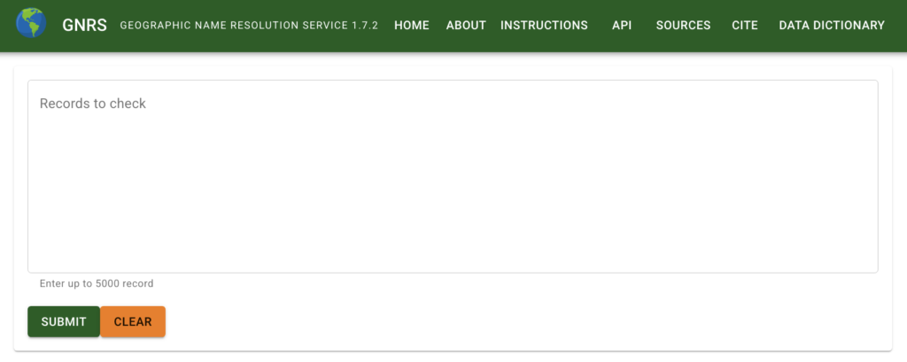
GNRS web application

Access the GNRS

  • GNRS web interface — for non-programmers.
  • GNRS API — programmatic access.
  • GNRS R package — from within R.
The BIEN network
  • About BIEN
  • Methods and Workflow
  • Participants
  • Data contributors
  • Projects
  • Meetings
  • Publications
  • Acknowledgments
  • Links
Archive
  • Archive and legacy BIEN
  • Previous BIEN versions
  • SALVIAS
More
  • News
  • Contributor login
BIEN database version: 4.2

Search

Recent Posts

  • News

Botanical Information and Ecology Network 2026 . Powered by WordPress