
Applications & Tools
Open tools that standardize, validate, and integrate plant data
BIEN develops open tools so records from herbaria, plots, and checklists can be combined for reproducible ecological and evolutionary research. They are available as web services, application programming interfaces (APIs), and R packages.

Core validation services
Four services standardize names and locations and add quality-control information to every record.
Standardizes plant names against reference taxonomies and flags synonyms and misspellings.
Standardizes political-division names against reference gazetteers, the first step in validating coordinates.
Validates coordinates, flags points in the ocean, and detects political-division centroids.
Assigns native or introduced status by region. Status is context-dependent and may be incomplete; treat it as documented inference, not universal truth.
Data access applications
Interactive geospatial portal to view and download species-level BIEN data.
Programmatic access to occurrence, plot, trait, and range data for reproducible pipelines.
Explore species occurrence summaries and visualizations.
Review trait-focused summaries and exploration workflows.
Mobile app listing plant species expected near a user’s location (publication).
BIEN in action
From standardized data to real-world application
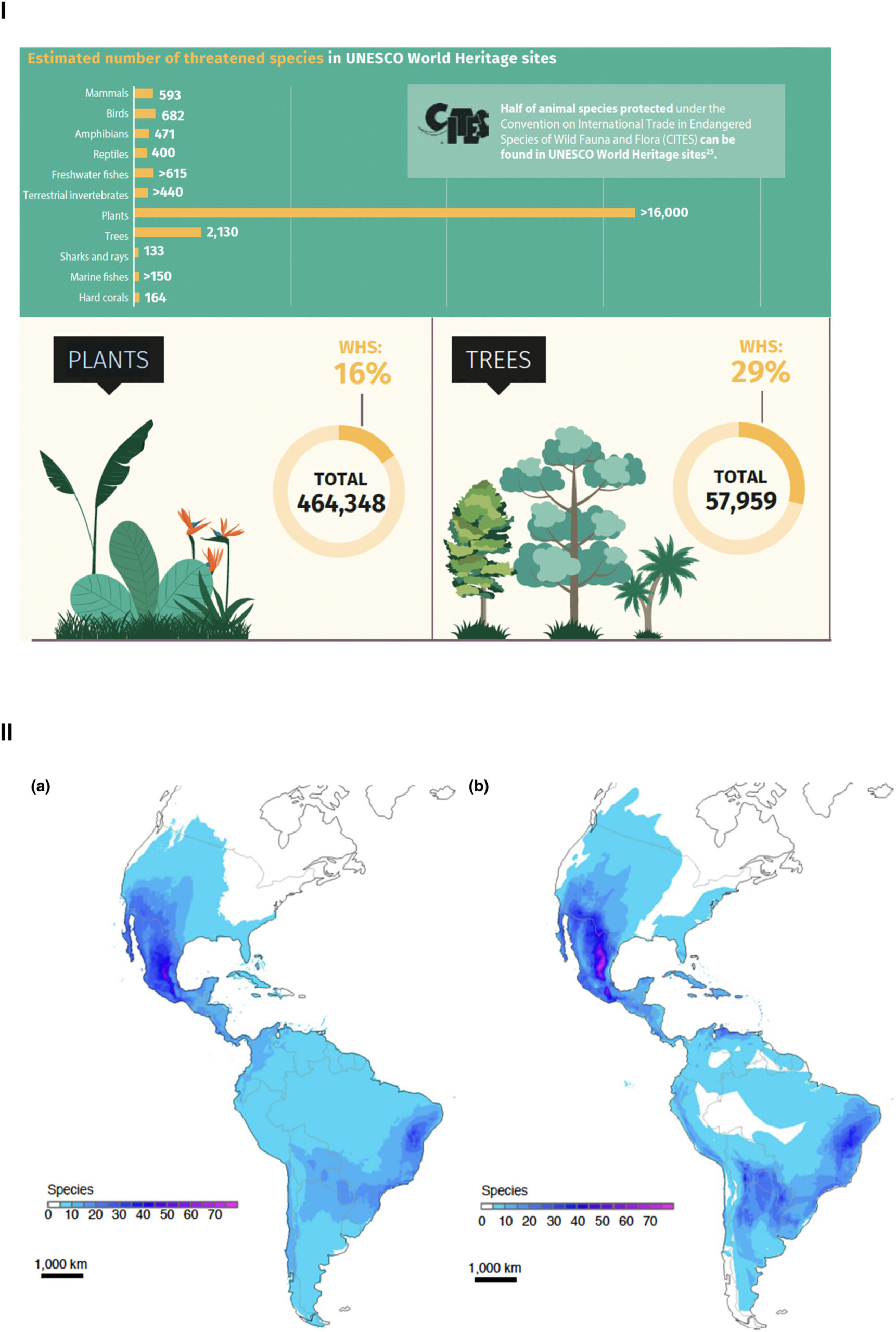
Because BIEN’s services resolve taxonomy, geography, and native status consistently, its harmonized data support downstream applications from conservation assessment to species distribution modeling.
Vegetation-data standards
- Veg-X and R VegX — exchange standard and R tools for vegetation-plot data.
- Darwin Core — biodiversity data exchange terms.
- BIEN 4 database schema and BIEN 3 schema — data dictionaries.
Citation: Enquist BJ, Boyle B, Maitner BS, et al. (2026). BIEN: A biodiversity informatics ecosystem advancing open and reproducible workflows for plant observation, plot and trait data. Methods in Ecology and Evolution, 17(5), 1556–1584. DOI: 10.1111/2041-210X.70274.