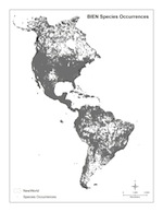
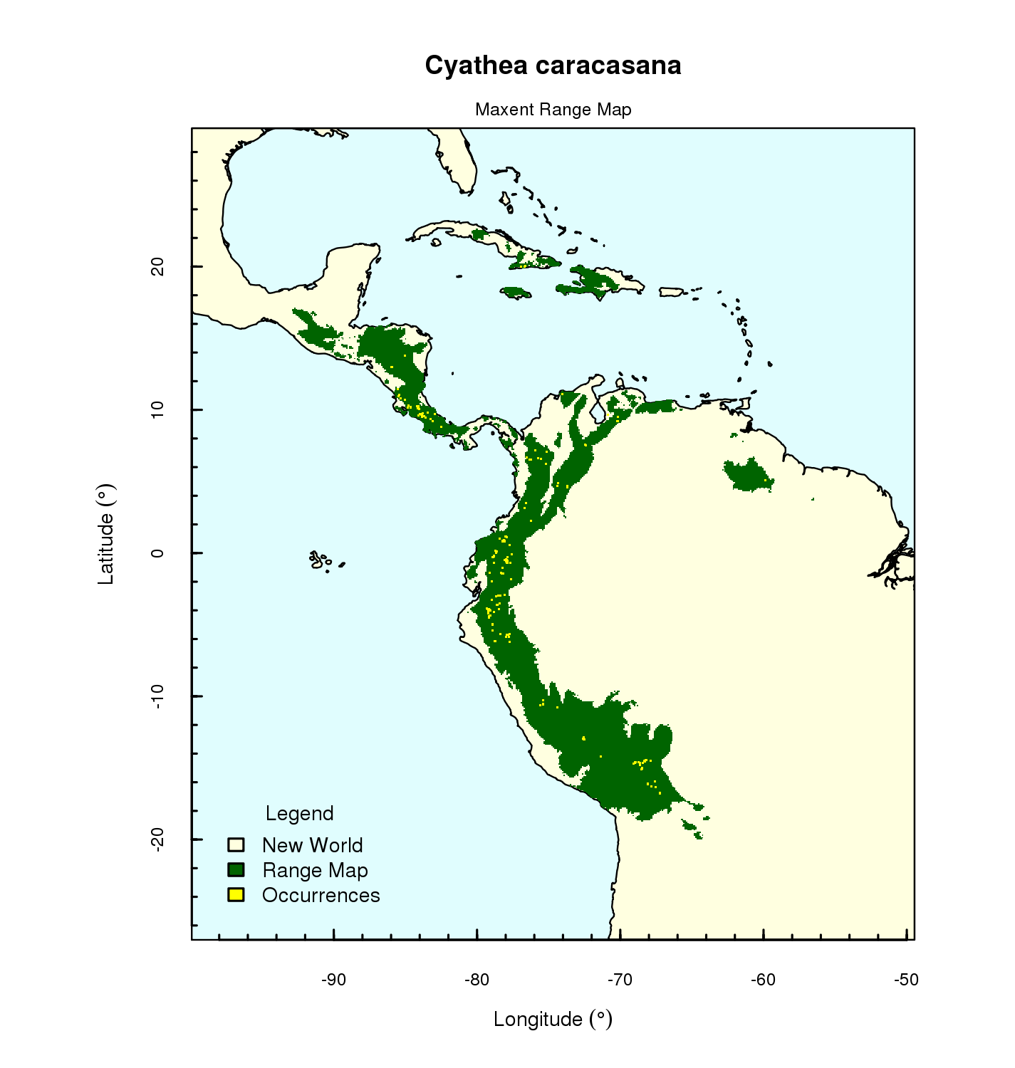
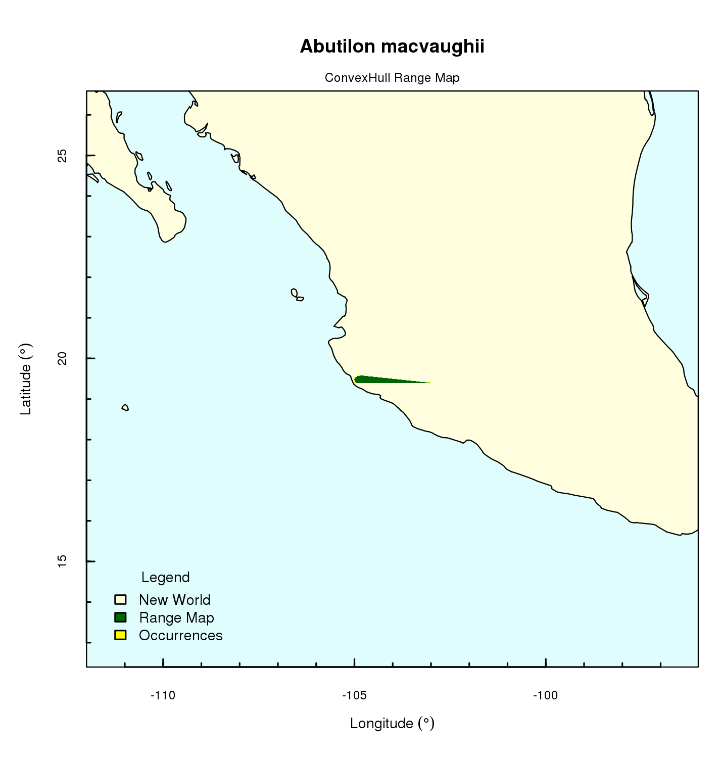
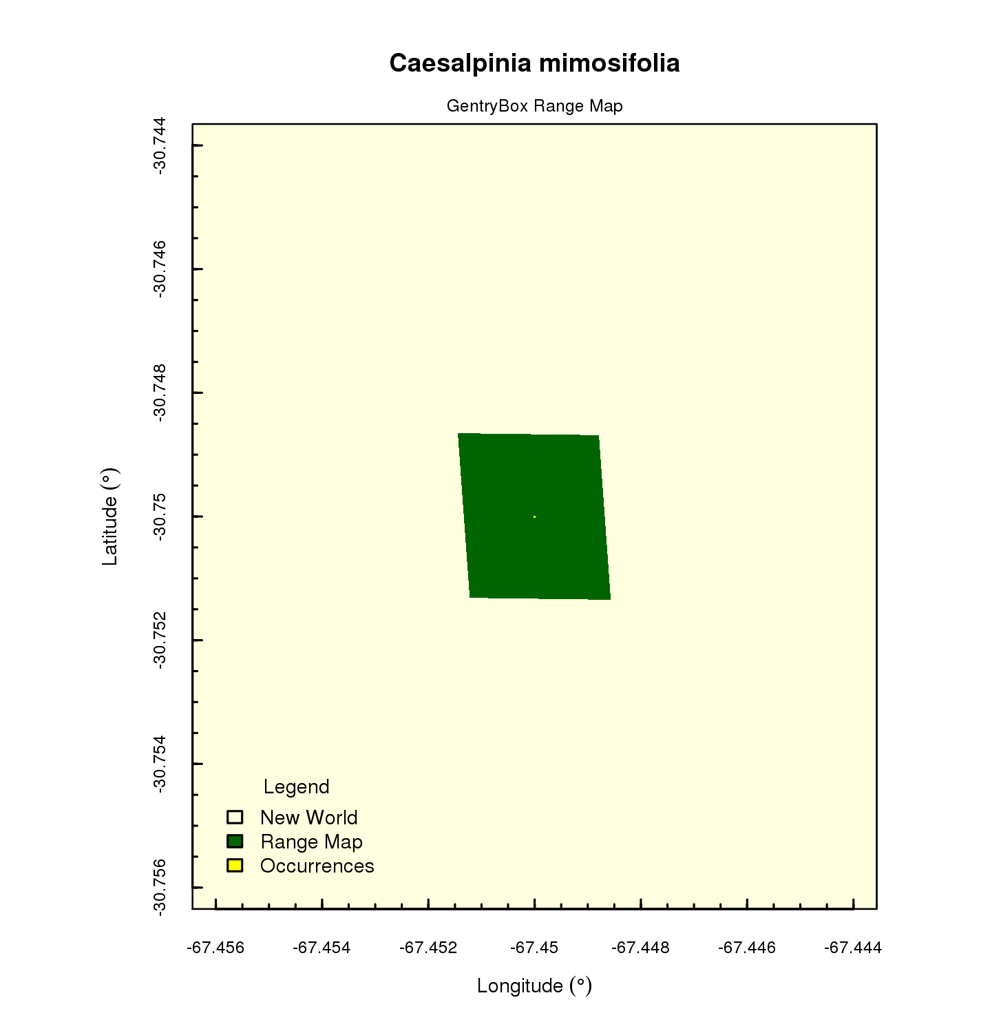
Using georeferenced occurrences from over 12 million plot and specimen records, BIEN has produced estimated range maps for over 88,000 species of New World plants.
Maps for most species were produced using Maximum Entropy distribution modeling (Maxent), using the single best combination of settings and thresholding procedures, as determined by an comparison of range modeling algorithms for the purpose of estimating range size (see Methods for estimating range size). Performing these calculations for 88,000 species at the scale of the entire New World was an enormous computational undertaking requiring the parallel computing resources of the Texas Advanced Computing Center (TACC), with assistance from The iPlant Collaborative.
Only ranges for species with five or more validly georeference observations were estimated using Maxent. For species with fewer than five points, we used a variety of approaches, as outlined in this decision tree.
As you examine these maps, please bear in mind that they are range models, not actual distributions. These models are hypotheses about where a species should be expected to occur, based on the input data (georeference observations, environmental layers) and underlying assumptions of modeling and thresholding algorithms. These algorithms are actively undergoing development. Furthermore, the underlying data are far from perfect. Although we have put considerable effort into data cleaning, errors due to incorrect identifications, inaccurate taxonomy, erroneous georeferencing errors and escaped/cultivated specimens undoubtedly still exist. As a consequence, many maps will be obviously inaccurate. Our hope is that exposing these results to examination by the community will help spot and correct errors in the underlying data and spur further refinement in range modeling algorithms.


